The terrain of St. John is mostly mountainous, and between the mountains are valleys. When it rains, water seeking its lowest level flows and seeps down the hillsides of the valleys and makes its way down toward the sea. In the Virgin Islands, these rain-collecting temporary valley streams are called guts.
When it rains hard, water rushes down the guts taking with it soil and sediment that have collected during dry periods. The bottoms of the guts are left as bare rocks. Along the edges of the guts, plant life grows profusely due to the abundance of water available to them. These gut environments are usually tropical and jungle-like.
Some of the most accessible and beautiful guts are in the Fish Bay area. Most often hiked are the Fish Bay and Battery Guts, which come together at an elevation of about 200 feet in the Fish Bay Valley.
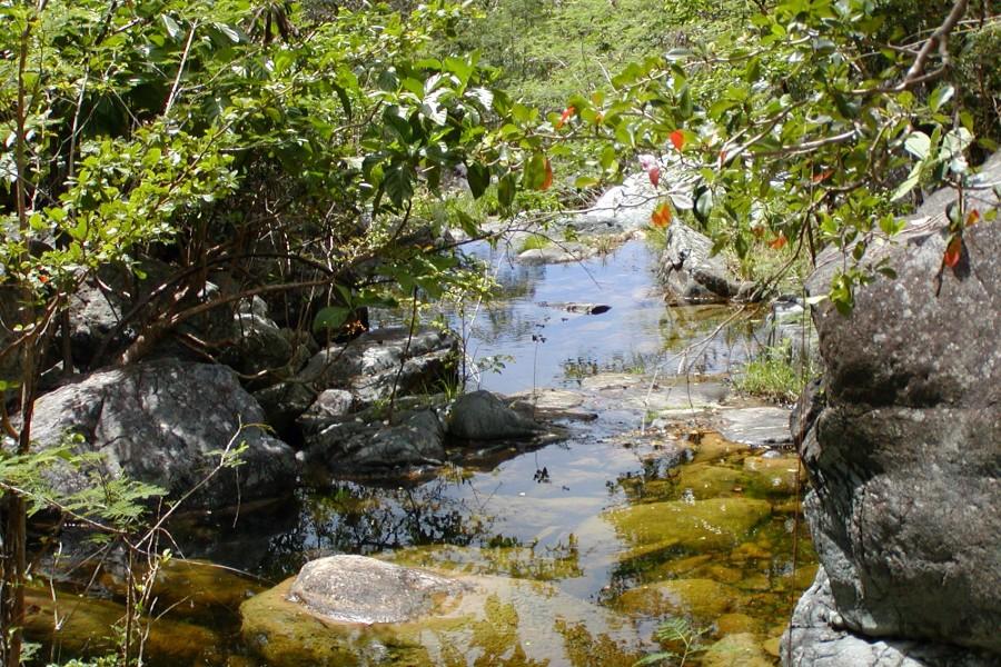
These are difficult and challenging hikes and should only be undertaken by those with good fitness levels and who possess knowledge of rock scrambling techniques. It’s extremely important to exercise the utmost caution. The rocks may be slippery, and the ways out of the gut and back to civilization are limited. Do not attempt this (or any) hike alone!
The Fish Bay and Battery Guts, along with the Living Gut in Reef Bay and the Guinea Gut, are the only south-side guts that have some degree of permanent water. Pools and waterfalls along the gut provide homes for several species of freshwater fish, crabs, and crayfish.
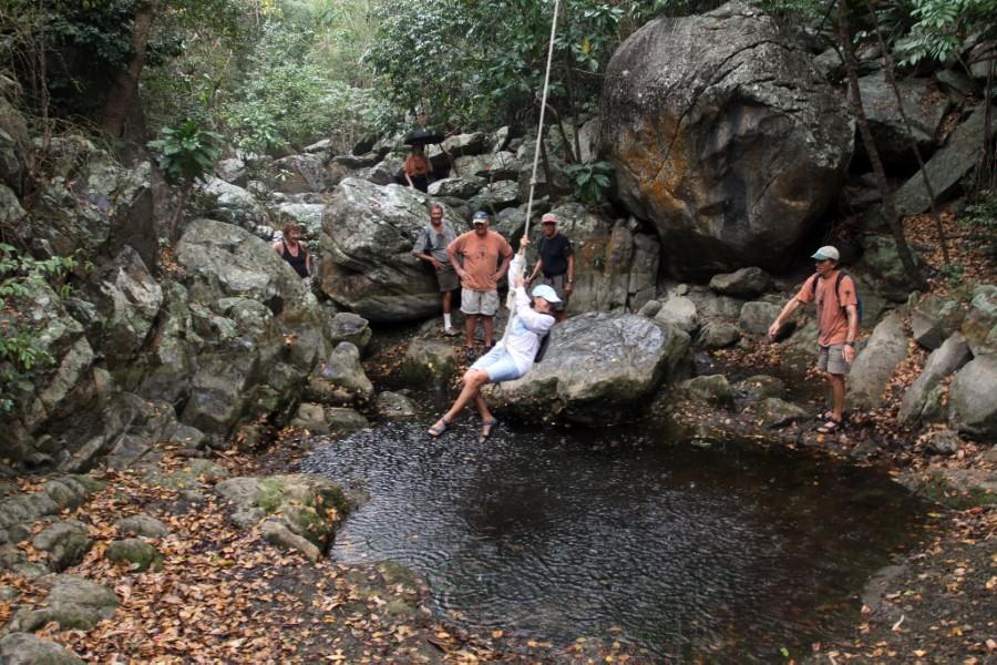
The gut environment is dynamic. It can change considerably depending on the amount of rainfall and the time of year. The hike along these natural pathways will, therefore, vary in difficulty. You will need to be creative at times to find the best way around obstacles such as waterfalls, pools, fallen trees, thorny vines, and unfriendly plants.
The Fish Bay Gut can best be accessed from Fish Bay Road on either side of the bridge that crosses the gut.
In this low-lying area, the gut can be crowded with thick vegetation, but getting through is not as difficult as it looks. Be prepared to get wet, especially in the early morning when there is a lot of dew on the grass or after a night of showers. As the elevation begins to increase, there is less vegetation in the gut, and the going is easier.
The tall trees along the sides of the gut filter the sunlight and create an exciting tropical atmosphere. Watch for orchids growing in the nooks and crannies of trees and rocks. You will find bright green moss, lush tropical ferns, and an assortment of flowering trees and other plants.
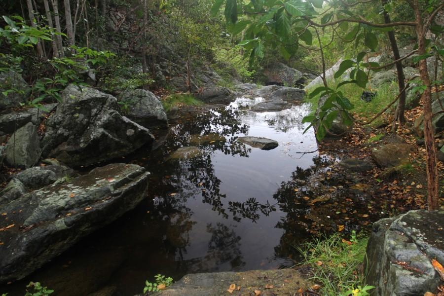
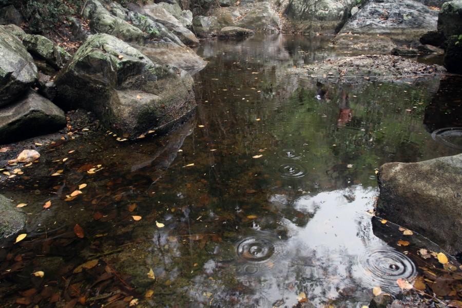
The freshwater pools contain fish whose eggs can lie dormant for years at a time when the pools dry up. They will hatch when there is sufficient rainfall to support life in the pool.
Also, look for freshwater crabs, which scurry for shelter when they see you approach, and crayfish that look like little Maine lobsters. Colorful dragonflies often hover above the pools. Here, the forest is alive with the buzzing of bees and the songs of birds attracted to the water in the pools.
After about a quarter mile, you will come to the intersection of Fish Bay and Battery Guts. The Battery Gut is the western (left) fork and continues up alongside the Gift Hill Valley, where it begins in the vicinity of Neptune Richard’s Laundromat. On the way, it passes the Pine Peace School, where there is an exit trail.
About 0.1 mile from the gut intersection is a 70-foot-high waterfall. There are freshwater pools on the top and bottom of the cliff. The base of this waterfall is a wonderful place to stop and relax for a while before the return trip down the gut.
Experienced rock climbers, however, can climb this steep rock face, which offers a variety of hand and foot holds. Above the waterfall, the gut becomes more overgrown. There is access from the Battery Gut to Gift Hill Road next to the Pine Peace School. This narrow trail will be on your left as you ascend the gut.
During the slave rebellion of 1733, the Free Negro Corps led by Mingo Tamarin pursued a party of rebellious slaves down the gut from Beverhoudtsberg Plantation, where a battle, which was then called a batterie, was fought at the bottom of the high waterfall. The Battery Gut was named after this battle.
At the intersection of the two guts, the eastern (right) branch is the Fish Bay Gut, which leads to Centerline Road, running for a time alongside the old L’Esperance Road. There are several opportunities along the way to access the L’Esperance Road before climbing through the increasingly thick underbrush as you approach the upper levels of the valley and Centerline Road. The rarely traveled L’Esperance Road can provide much easier access to Centerline Road and civilization.
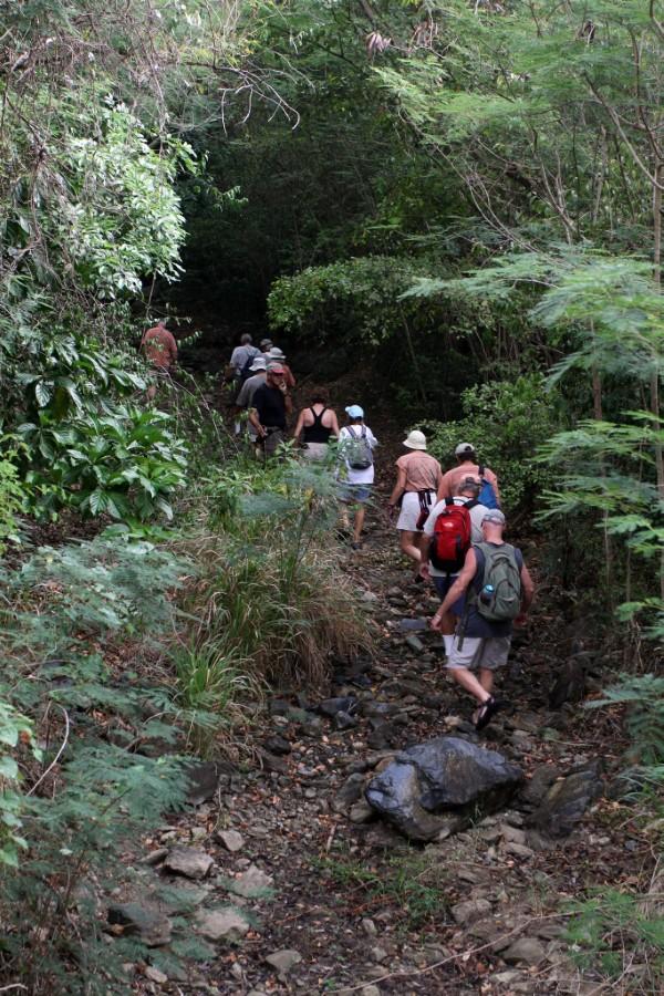
The Fish Bay Gut has several freshwater pools as well as a beautiful waterfall that descends much more gradually than the Battery Gut waterfall. Be extremely careful climbing the waterfall because the rocks can be very slippery.
