The Leinster Bay Trail is a flat 0.8-mile trail that follows the shoreline of Leinster Bay from the end of the paved road beyond the Annaberg Sugar Mill parking lot Leinster Bay Road to the beach at Waterlemon Bay. It takes around half an hour to hike it.
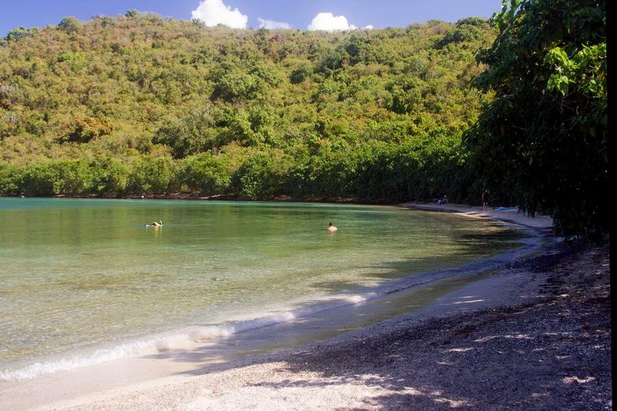
The Leinster Bay Trail runs right along the water’s edge with splendid, unobstructed views of Leinster Bay and other islands. Moreover, it provides land access to one of St. John’s best snorkeling locations, Waterlemon Cay, which lies just offshore of the beautiful little beach at Waterlemon Bay.
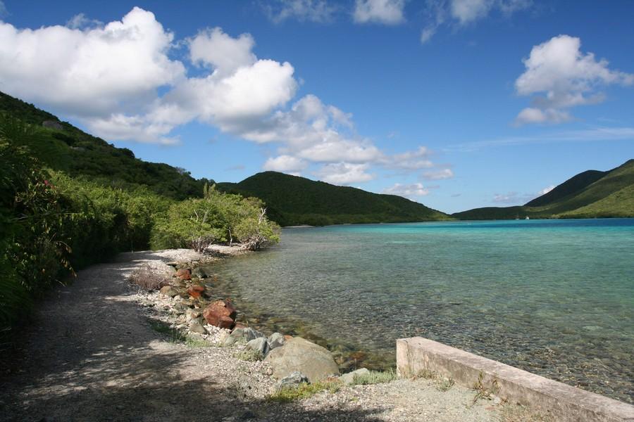
Waterlemon Cay
The small island of Waterlemon Cay once served as an arena for settling disputes and matters of honor. The Danes had outlawed dueling, and as a result, citizens of St. Thomas and St. John who felt the need to engage in this activity would go to Tortola, where dueling was legal.
When the British Virgin Islands also prohibited dueling, Waterlemon Cay became to go to the ground to settle disputes the old fashion way.
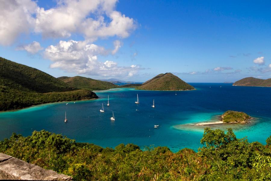
The Trail
Before Hurricane Marilyn in 1995, the Leinster Bay Trail was passable by four-wheel drive vehicles. According to the National Park, the decision not to repair the road to a condition that would once again allow vehicle entry was made in order to lessen the impact on the reef at Waterlemon Cay by snorkelers arriving by vehicle.
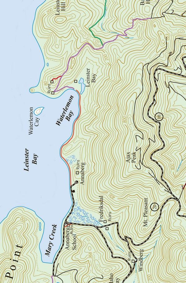
The Leinster Bay Trail was once part of the Old Danish Road that began in Coral Bay and followed the north shore of St. John, accessing the plantations at Brown Bay, Leinster Bay, Annaberg, Mary Point, Fredriksdal, Windberg, Little Maho Bay, and Caneel Bay (Cinnamon Bay).
Beginning from the Annaberg Parking Area, the landward side of the trail abuts a low-lying area similar to that found on Leinster Bay Road. A thicket of twisted Maho trees dominates the landscape.
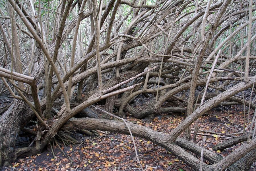
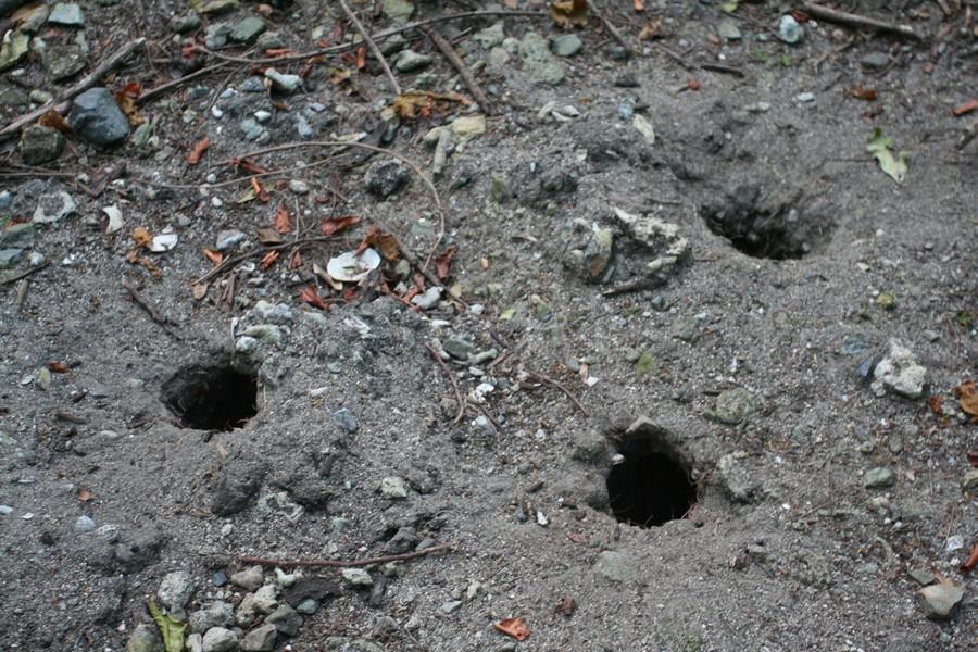
On the ground, you’ll find numerous land crab holes, with an occasional land crab scurrying into the safety of their tunnels upon your approach.
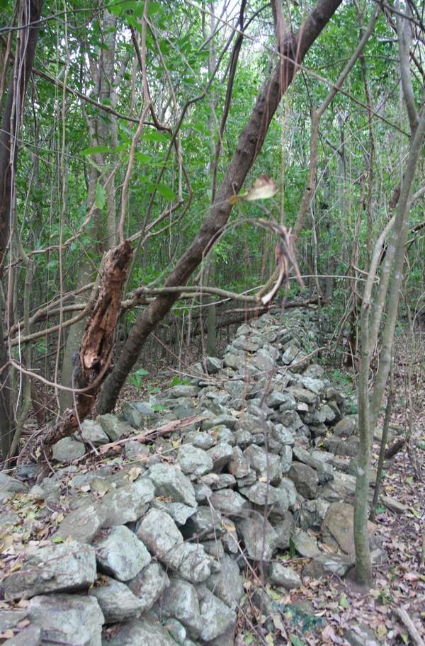
As you travel further down the trail, the marshy flats on the inland side of the track give way to steep hills and rocky cliffs before reverting once again to flats as you approach the beach. Leinster Bay has native stone walls that once marked boundaries and contained livestock.
Beach at Waterlemon Bay
The Leinster Bay Trail ends at the beach known as either Waterlemon Beach or Leinster Bay Beach. A Virgin Islands National Park sign alerts you to the fact that this beach is an official turtle nesting area and is subject to certain rules.
The Ruins
Look for the trail that begins about halfway down the beach at Waterlemon Bay and leads inland. Here you will find the extensive remains of the Leinster Bay Plantation as well as what is left of a more recent cattle operation.
The remains of a small residence and a cattle trough lie just inland from the trail. Proceeding along the path, you will come to an old well tower. If you look in, you can see water at the bottom.
There are three more wells on the site. One well is near the brackish pond, and two more are in the valley.
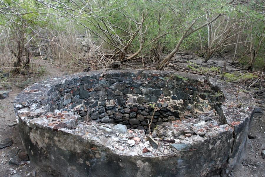
Just past the well are the ruins of the storage house, the boiling room, and the boiling bench where sugarcane juice was boiled down to produce crystallized sugar.
Here you can see smooth black limestone tiles that look like slate. These tiles, made in Denmark’s Gotlin Island in the Baltic Sea, are often found around the burning trenches of old sugar mills.
The ruins of the horsemill are behind the boiling room. Also remaining on this old estate are the watermill, the gatepost, the rum still, and the canning room.
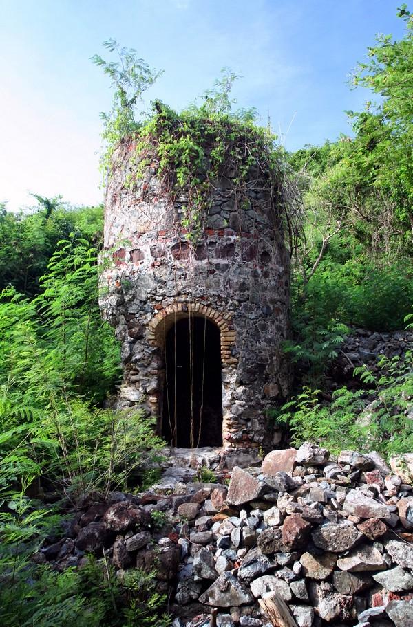
Archeologists have found evidence of at least twenty-six slave houses on the hillside to the east of the plantation.
Salt Pond
Behind the Leinster Bay ruins is an often dried salt pond, where deer often come in the early morning hours. Other fauna you’re likely to come across in the area include a variety of land and sea birds, great blue herons, and land crabs.
Leinster Bay Road
If you want to go on another quick hike, the Leinster Bay Road runs between the beach at Francis Bay and the Leinster Bay Trail. The distance between these points is about a half mile.
The low-lying coastal flatlands bordering Leinster Bay Road provide ideal conditions for the poisonous manchineel tree, one of which is marked by a National Park Service information sign.
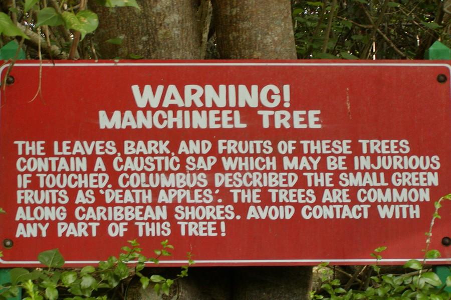
The sap from the leaves, bark, and fruit of this tree can be irritating to the skin. Even standing under the Manchineel tree in the rain may cause skin irritations. The round green fruit of this tree is also poisonous.
On one of Columbus’ voyages, a crew member sampled the seemingly edible fruit and passed away. Thereafter, the fruit was nicknamed “death apple”.
There are several places along the road where you can walk out to the narrow beach and observe the shallow reef flats.
These reef tops are the habitat for wading birds, small fish, and many species of marine invertebrates. The shallow areas called flats are also popular with fisherman testing their skills against the skittish and hard-fighting bonefish.
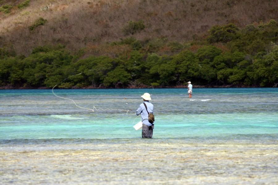
The mostly paved road hugs the coast of beautiful Leinster Bay, where you can enjoy superb views from several places along the road.
You can also observe land crabs, wading birds, and marine organisms in the mangrove forests and shallow reef flats adjoining the road.
The Leinster Bay Road is one of the few long flat stretches on St. John. It’s 0.7 miles long and is perfect for runners and joggers who prefer a level surface for their sport. If you end your run at Francis Bay, you can enjoy the luxury of cooling off after your workout with a refreshing swim at one of the Caribbean’s best beaches.
