The Johnny Horn Trail connects the Leinster Bay Trail at the eastern end of the beach at Waterlemon Bay with the historic Emmaus Moravian Church in Coral Bay. The trail is 1.8 miles long and follows the mountain ridge through a dry, upland forest environment.
There are some steep hills reaching an approximate elevation of 400 feet. Some sections of the trail, especially on the Coral Bay side, run through private property and inholdings.
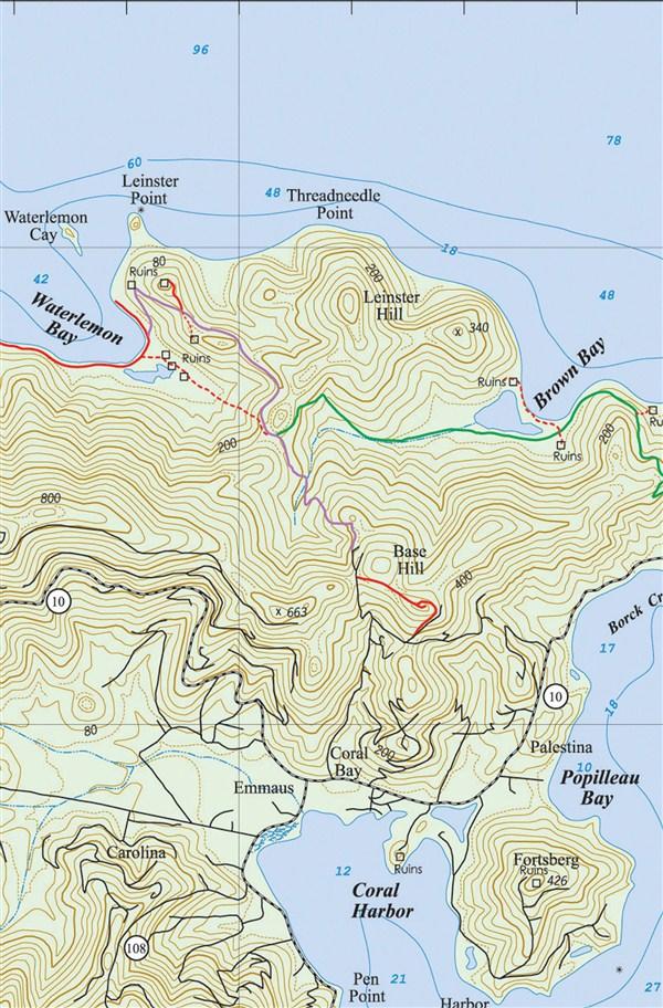
There are five spur trails off the main trail. The first (starting from Waterlemon Bay) provides access to the best place to cross the channel if you would like to snorkel around Waterlemon Cay.
The second spur leads to the remains of an old Danish guardhouse. The third trail takes you to the ruins at Windy Hill, the fourth is the Brown Bay Trail to Brown Bay and East End, and the fifth is the Base Hill Spur.
The Johnny Horn Trail was named after Johan Horn, who was second in command to Governor Gardelin in St. Thomas and Commandant of St. John around the time of the slave rebellion in 1733.
He was the Chief Bookkeeper and Chief Merchant of the Danish West India and Guinea Company on St. Thomas.
According to John Anderson in his historical novel, Night of the Silent Drums, Englishman John Charles, a former actor who became a small planter on St. John, said the following of Horn:
“He had a grimace for a face, lies for eyes, nose for a nose, arse cheeks for face cheeks, fears for ears, whips for lips, dung for a tongue, and to all who knew him, it seems strange that he has but one horn for a name.”
Snorkeling Access Spur Trail
Right near the beginning of the Johnny Horn Trail, there is a short spur trail that follows the shoreline of Waterlemon Cay.
By walking along this trail, you can get to a point on the shore that is half the distance to Waterlemon Cay than it would be starting from the beach.
This way, you can save your energy for really good snorkeling around the cay.
The Guardhouse On The Johnny Horn Trail
A patch of aloe can be found a little further up the trail between a big rock and the remains of the old Guardhouse. It is common to find aloes planted close to homes and public buildings. The pulp from the leaves is used for the treatment of sunburn, burns, and other ailments.
The spur trail on the left, just beyond the aloe, takes you to the ruins of a Danish guardhouse.
This small fortification was built on this strategic location, called Leinster Point, because it overlooked two critical passages, the Fungi Passage, between Whistling Cay and Mary Point, and the Narrows, which separate Great Thatch and St. John.
The guardhouse was equipped with cannons and manned by 16 soldiers.
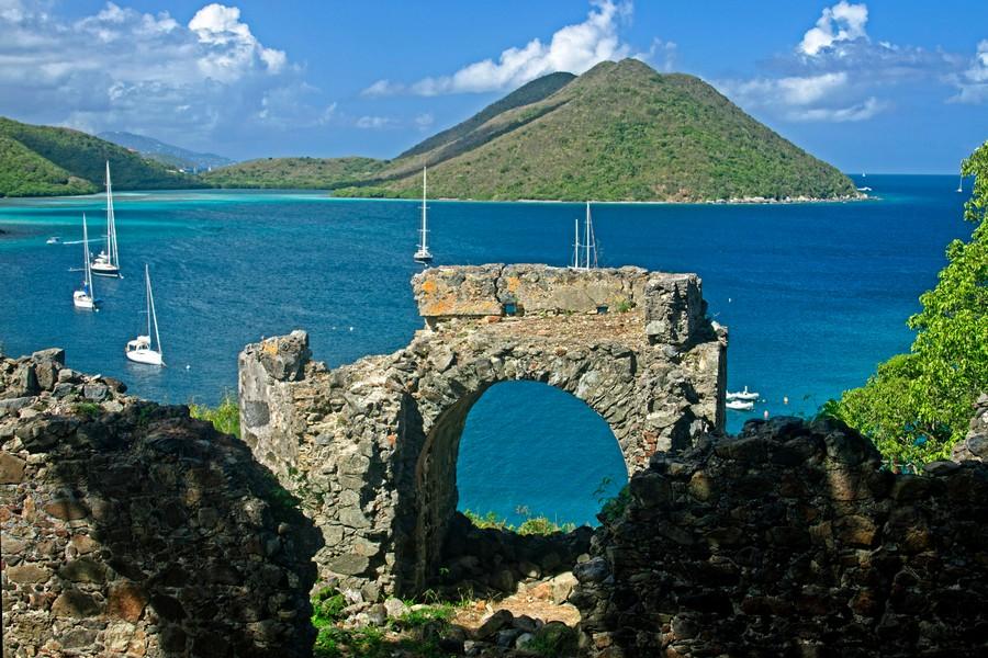
Continuing up the trail, you will be treated to excellent views of Leinster Bay, the Narrows, and the Sir Francis Drake Channel. From here, you can see how the proximity of Tortola encouraged many St. John slaves to attempt an escape to freedom.
Murphy Estate On The Johnny Horn Trail
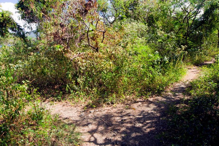
Near the top of the hill, the trail forks. The trail to the left is a spur that leads to the ruins of the James Murphy Estate house, which lie about 200 yards from the fork. The trail to the right is the continuation of the main Johnny Horn Trail.
At the end of the 18th century, the Annaberg Plantation, as well as five other contiguous estates, came under the control of James Murphy, a wealthy St. Thomas merchant, ship owner, and slave trader.
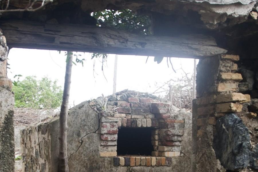
The consolidated lands were called Annaberg, which became the largest and most successful plantation on St. John. From the estate house which he had built at the top of what is sometimes known as Windy Hill, Mr. Murphy could view the entirety of his vast holdings.
James Murphy was buried on a part of the estate commanding view of his holdings.
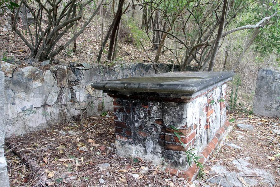
In 1843, the Annaberg plantation, as well as the estate house, became the property of Judge H. Berg, the vice-governor of the Danish West Indies. Berg lived on St. Thomas, but when he visited St. John, he resided at Windy Hill.
Otherwise, the house was occupied and managed by Mr. and Mrs. Wallace. Preserved letters from early travelers to St. John make reference to the presence of an extensive library at Windy Hill.
Before selling the remainder of his estates on St. John, Judge Berg bequeathed small plots of land east of the estate house to some of his employees. These employees and their descendants established the village of Johnny Horn. Remains of the old houses can be seen in several places just off the Johnny Horn Trail.
Luther K. Zabriskie, in his book, The United States Virgin Islands, gives this description of Windy Hill when it was a boarding house:
“Leinster Bay was where an excellent boarding house for use by occasional visitors was once kept. The storm of 1916 blew this house down. The wonderful old mahogany furniture that was the envy of all who came to stay here was scattered in all directions.”
Windy Hill may also have been used as a Masonic Lodge. De Booy and Faris, Our New Possessions, wrote:
“Nearby are the remains of a building occupied by the only Masonic Lodge on St. John. One can almost picture the banquets held by the Masons when they assembled here in the olden days when feasts were of the first importance in the life of the West Indian planter.”
Brown Bay Trail Intersection
Following the relatively flat ridge, you will find scenic overlooks with views of Jost Van Dyke, West End, Tortola, and the Sir Francis Drake Channel. About a half mile from the Windy Hill spur, you will come to another trail intersection.
The Johnny Horn Trail continues straight ahead, and the Brown Bay Trail is on the left. It is identified by a National Park information sign.
The Brown Bay Trail is 1.6 miles long. It is 0.8 mile to the beach at Brown Bay and another 0.8 mile to East End Road at the other end of the trail.
Brown Bay Spur to Base Hill
Continuing straight along the Johnny Horn Trail, the path descends gradually and crosses a gut. After crossing the gut, the trail ascends steeply before reaching a more improved section of dirt road near the top of Base Hill (pronounced Boss Hill).
At this point, you will have reached an elevation of 400 feet above sea level, from which there are superb views down into Coral Harbor and Coral Bay.
Base Hill Spur
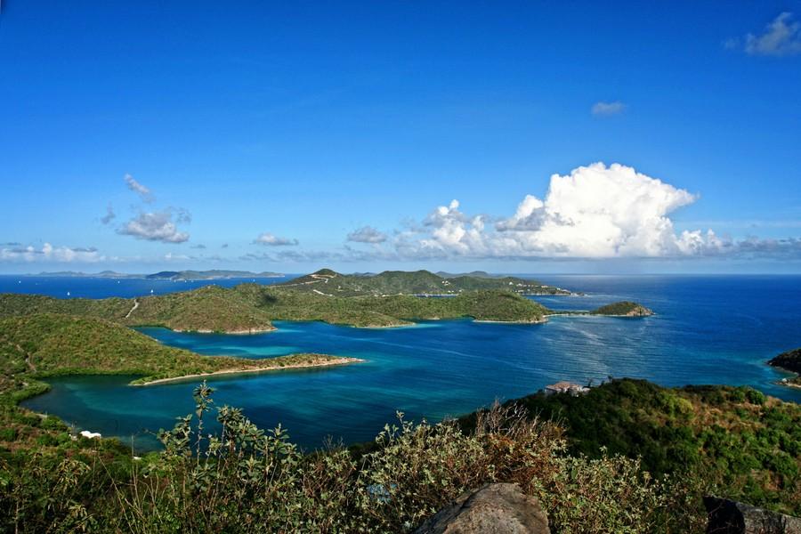
A dirt road just south of the ridge heading east leads to the summit of Base Hill (“pronounced Boss Hill”), where you can enjoy panoramic views extending from Jost Van Dyke on the north to Coral Harbor on the south.
This includes spectacular vistas of the islands of the Sir Francis Drake Channel all the way to Virgin Gorda.
You can also see mangrove-lined bays within Hurricane Hole on St. John. The road narrows into a footpath and loops back down to meet another dirt road, which, if taken to the right, leads back to the main Johnny Horn Trail.
Base Hill to the Coral Bay Moravian Church
From the hilltop, the main Johnny Horn Trail descends rapidly and leads to the Moravian Church in Coral Bay near the intersection of Centerline Road and Salt Pond Road (Route 107).
The Moravians came to St. John in 1741. They established the mission at Emmaus (Coral Bay) in 1782. They are the oldest of the Protestant religions and were the first to minister to everyone regardless of race.
This is the fourth Moravian church to be built on this site. The Moravian Church, constructed in 1919, is listed in the National Registry of Historic Sites.
